


Shoreline Management Plan
The Town's Flood Mitigation Strategy included the development of a Shoreline Management Plan, which has been completed by Zuzek, Inc. in December 2022 after extensive consultation with Tecumseh residents, sub-consultants and Town Administration.
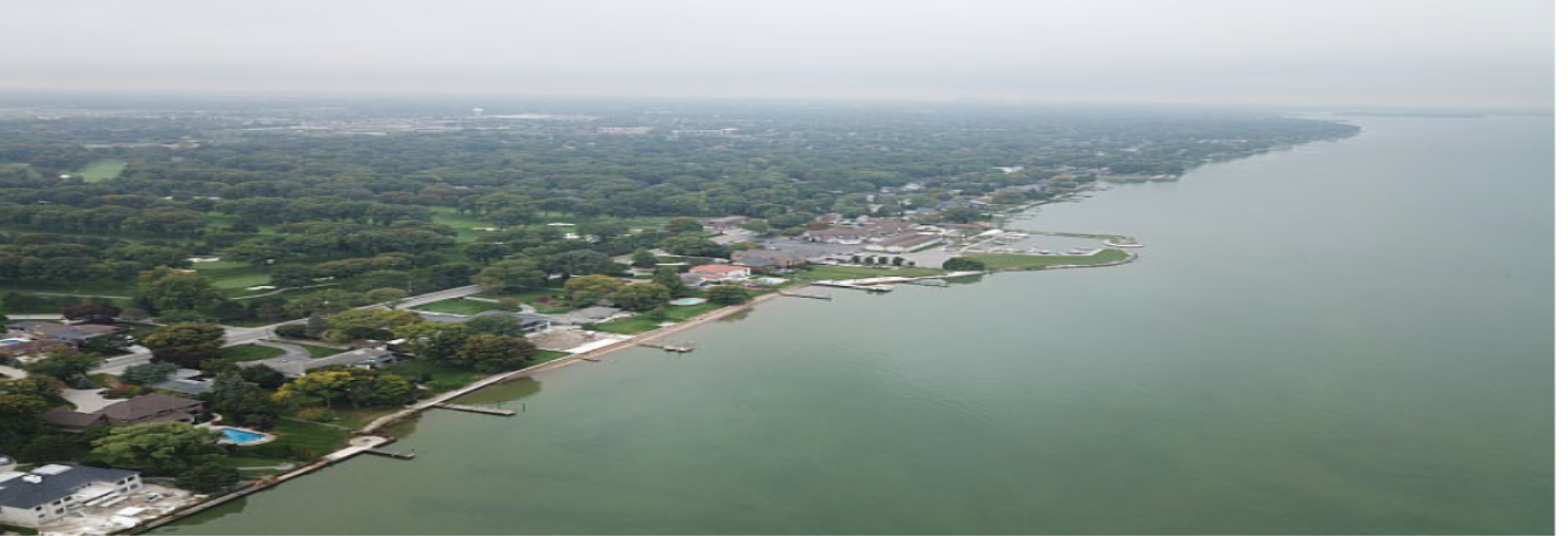
| Study Area |
 Figure 1: Study Area of the Shoreline Management Plan |
Overview
The Shoreline Management Plan sets forth key findings on Tecumseh's current and future vulnerability to coastal flooding along Lake St. Clair, while identifying potential adaptation and mitigation options to reduce the risk of shoreline hazards. The Plan highlighted the following components:
- Influence of climate change on coastal hazards and lake levels along the shoreline of Lake St. Clair
- Challenges for the coastal community of Tecumseh
- Potential economic damages resulting from the joint occurrence of coastal storms and increased lake levels due to climate change
- Conceptual long-term and short-term approaches for reducing flood risk due to coastal hazards, including shore protection upgrade scenarios and associated costs
- Future considerations to address coastal flood risks
The Shoreline Management Plan establishes a framework that can be used for future shoreline studies in efforts to reduce the risks of coastal hazards and build Tecumseh's resiliency against flooding.
The full Shoreline Management Plan document is available here.
Zuzek Inc. completed a presentation at a Special Council Meeting held on February 14, 2023, that summarized the results of the Shoreline Management Plan.
A recording of the presentation can be accessed here.
The slide deck used for the presentation is accessible here.
Public Consultation
A series of Public Information Centres (PICs) were held in 2020 and 2021 to facilitate feedback from residents throughout the Plan's development. A summary of the information covered at the PICs held is provided in the below tabs.
| Public Information Centre #3 |
|
PIC #3 took place on Wednesday, August 18, 2021. Similar to PICs 1 and 2, two identical sessions were scheduled: Session 1 was held from 3:00 pm to 5:00 pm and Session 2 was held from 6:00 pm to 8:00 pm. The live recording and a copy of the presentation are provided below for your viewing. |
| Public Information Centre #2 |
|
PIC #2 was held via two virtual Sessions on Tuesday, April 20, 2021. The PIC was also live streamed on the Town's website for those wishing to view the meeting without participating in the discussion. The live recording of the presentation and slide deck are provided below. |
| Public Information Centre #1 |
|
PIC #1 was held on October 29, 2020 and provided an overview of the results from the flood risk analysis for lake and inland interior flooding, and also included a summary of the potential economic impacts resulting from different flooding scenarios. A presentation of conceptual adaptation alternatives to increase community resilience to coastal flooding. |